|
| *****SWAAG_ID***** | 940 |
| Date Entered | 10/08/2016 |
| Updated on | 10/08/2016 |
| Recorded by | Tim Laurie |
| Category | Geographical Record |
| Record Type | Northern Britain |
| Site Access | Public Access Land |
| Record Date | 09/08/2016 |
| Location | Shunner Fell |
| Civil Parish | Muker |
| Brit. National Grid | |
| Altitude | 700m |
| Record Name | Views northward to Mallerstang Edge from the upper slopes of Shunner Fell |
| Record Description | The upper slopes and summit ridge of Shunner Fell provide some of the best views of distant Pennine landscapes. This is especially so during periods of approaching showers with contrasts of fells illuminated by bright sunshine or in distant outline under black rain cloud. |
| Additional Notes | Photographed during a walk over Shunner Fell to photograph and record the high Fell flora on Tuesday 09 August 2016. |
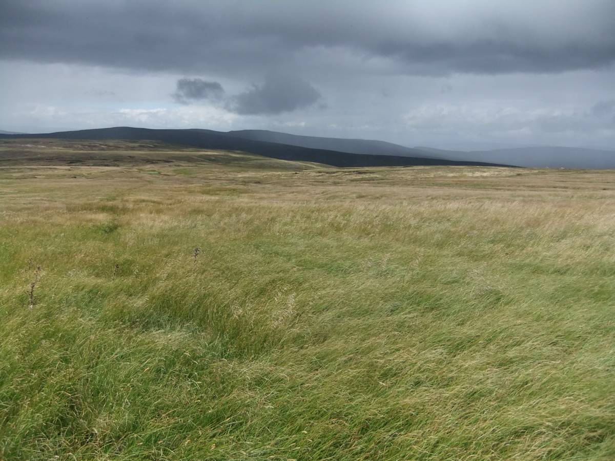
| Image 1 ID | 6844 Click image to enlarge |
| Image 1 Description | View northward from the upper slopes of Shunner across Great Sleddale head to High Seat and Mallerstang Edge. Nine Standards in the distance. | 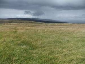 |
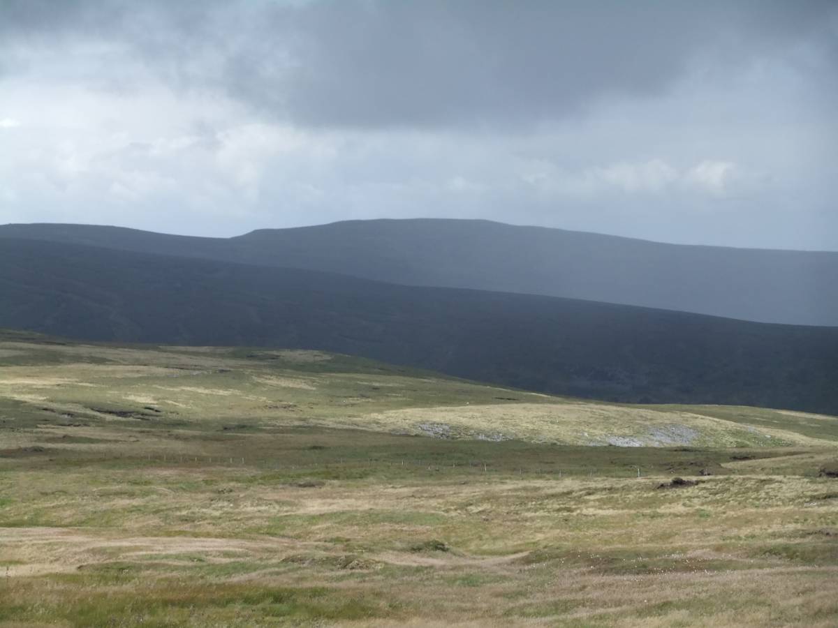
| Image 2 ID | 6842 Click image to enlarge |
| Image 2 Description | Detail of a distant landscape | 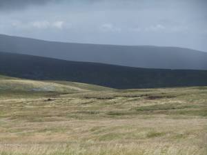 |
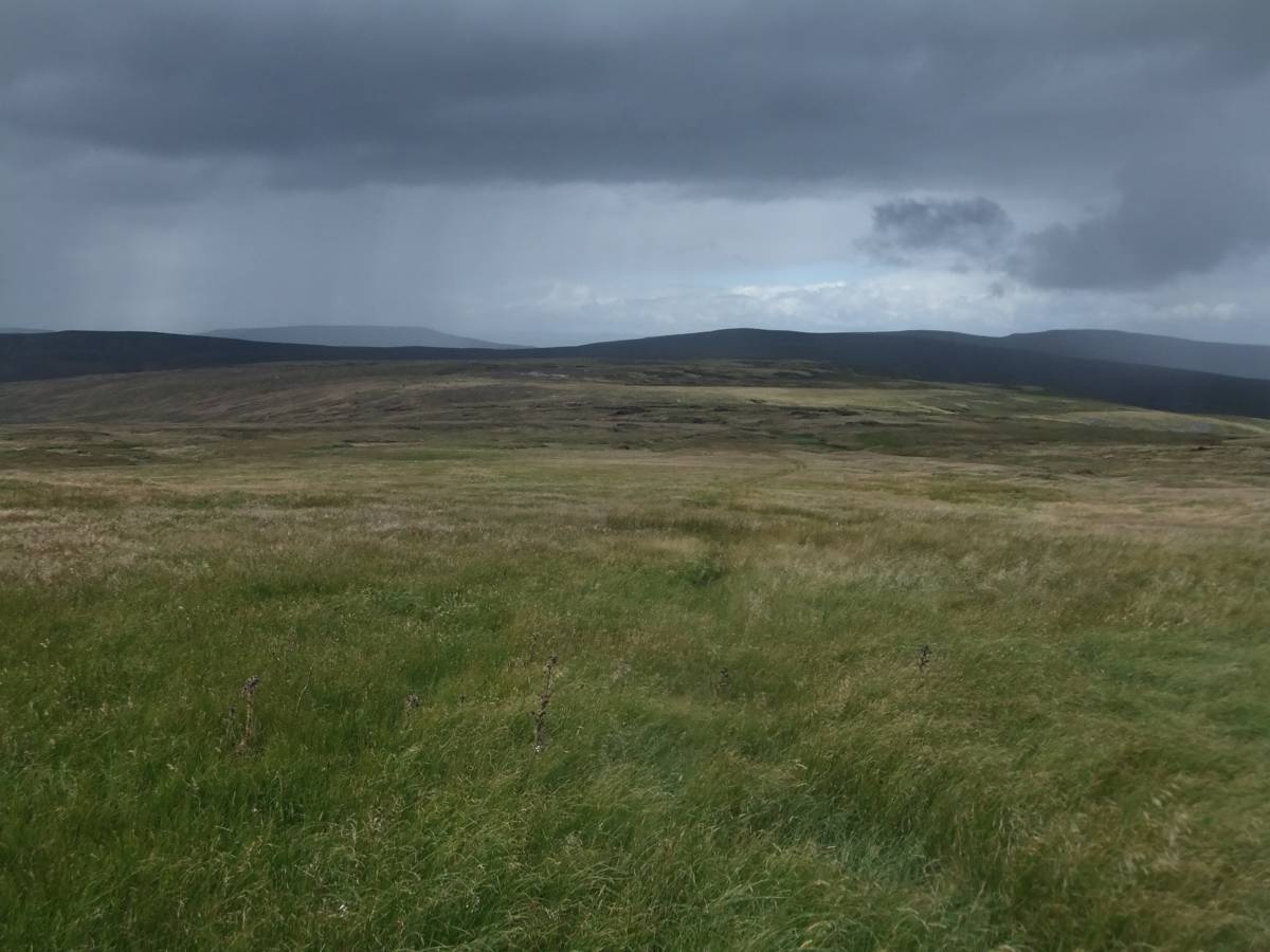
| Image 3 ID | 6843 Click image to enlarge |
| Image 3 Description | View north-westward from the upper slopes of Shunner across towards High Seat and Mallerstang Edge. Wild Boar Fell in the distance. | 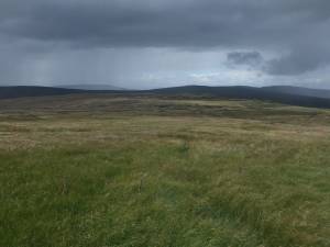 |
| Image 4 ID | 6841 Click image to enlarge |
| Image 4 Description | Detail of a distant landscape | 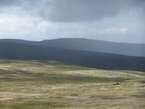 |